
In my pursuit of locating pertinent GIS data for my historical inquiry I contacted Fred Wurster a hydrologist at the Great Dismal Swamp National Wildlife Refuge. Over the past year he and I have corresponded about conservation efforts, environmental policy, and geographic information specific to the refuge.
Last week (week of July 4) I visited the Great Dismal Swamp refuge and met up with Fred to fieldwalk the swamp and observe the latest ditch blocking efforts(done to re-wet affected areas of the swamp degraded by drainage done in the past by extractive industries).
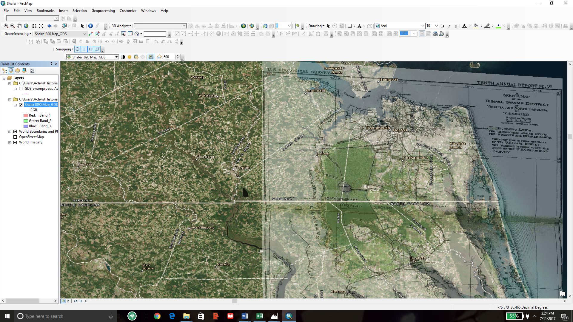
On Saturday Fred sent me an interesting map of the swamp. I geo-referenced it as best as I could since the western boundary contained no extant municipal markers of any kind.
Leave a Reply